Routeburn Track
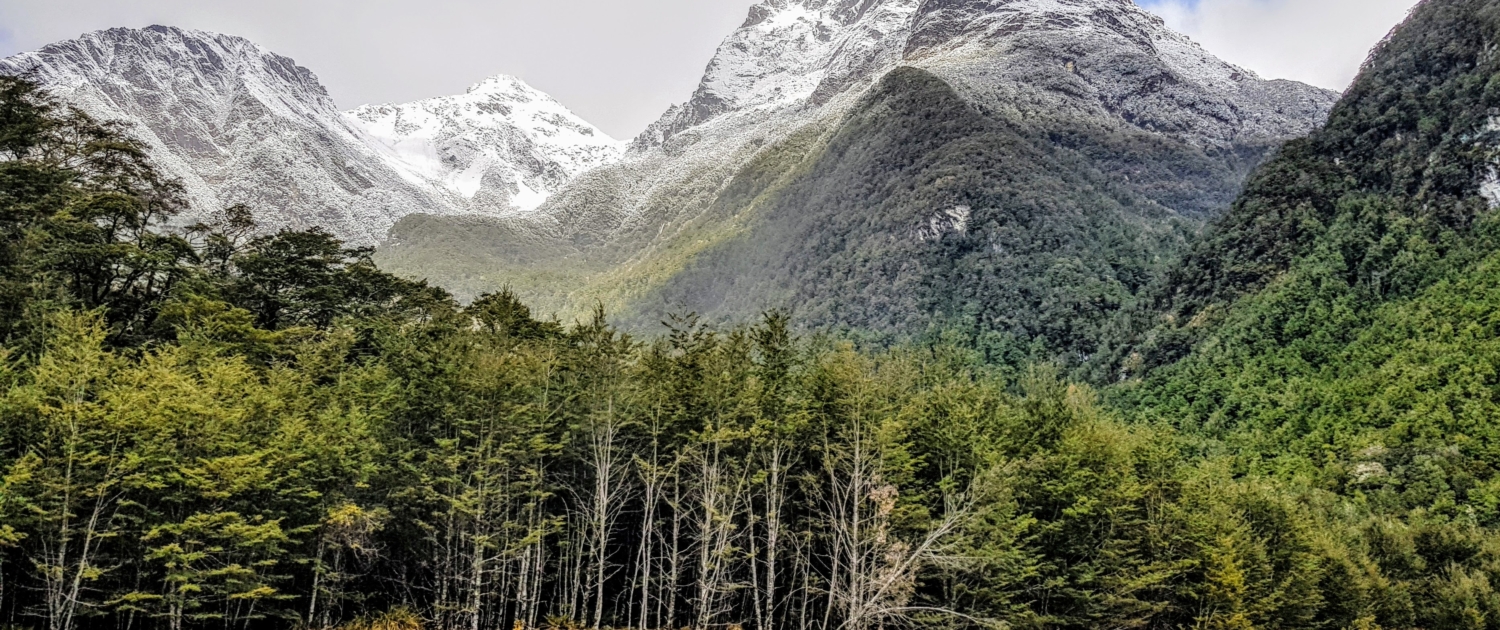
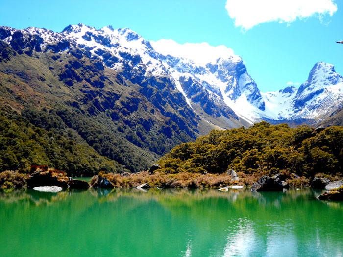
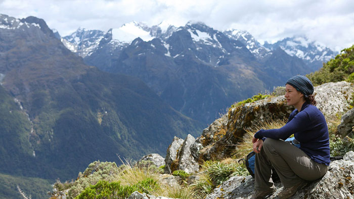
The Routeburn Track is one of the 10 Great Walks in New Zealand and is a well-traveled and well-maintained track that stretches 32km through glorious scenery.
To book track transport for the Routeburn track please click here
Difficulty: VARIOUS
Time: 45mins – Multi day
Hut bookings: Required – Book here
Routeburn Nature Walk
45mins
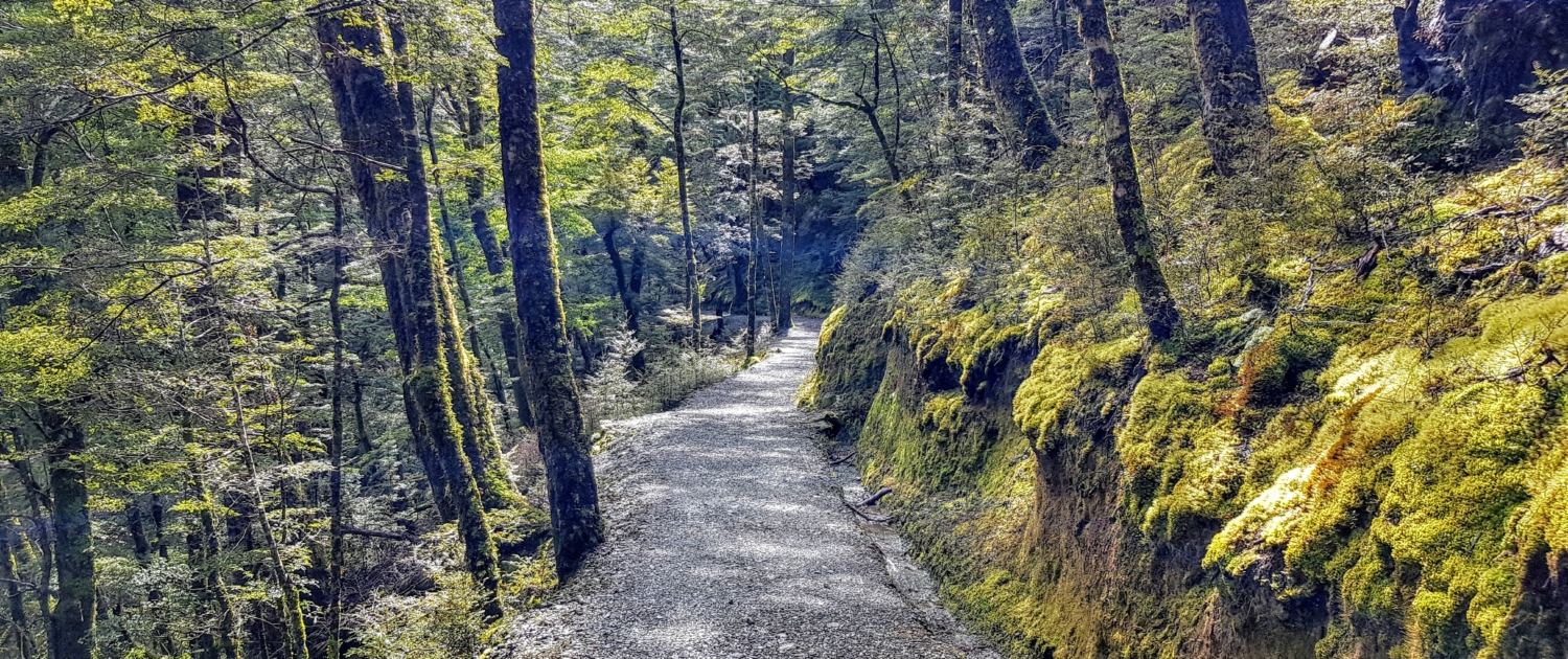
A gentle wander on a well made path through a stand of majestic Red Beech trees. Great for photographers, young children and an after lunch ramble. Park at the Routeburn shelter and follow the signs after 5-10 minutes walk from the trailhead.
Routeburn Shelter to Routeburn Flats Hut
7.5 km, 1.5 – 2.5 hours
The first segment of the Routeburn Track makes an ideal day walk for those short on time. The wide, well maintained easy graded track crosses several swing bridges, goes past Bridal Veil Falls and over the Routeburn Gorge before opening up to vast grassy flats.
Routeburn Flats Hut to Routeburn Falls Hut
2.3 km, 1 – 1.5 hours
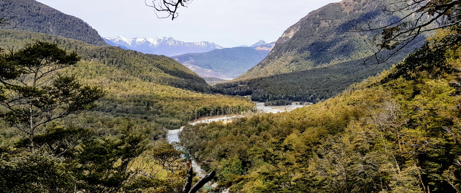
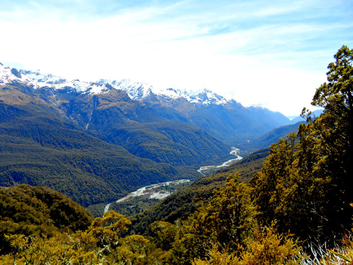
Between the huts is a significant gain in elevation. This steady climb through beech forest crosses 2 swing bridges and offers spectacular views of the valley below.
Routeburn Falls Hut to Lake Mackenzie Hut
11.3 km, 4.5 – 6 hours
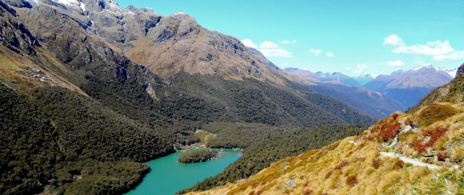
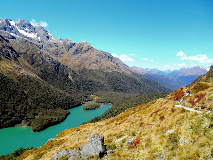
Climb steadily up the valley, through wetlands and tussock-covered flats, before sidling along the bluffs above Lake Harris to reach the highest point on the track at Harris Saddle/TarahakaWhakatipu (1,255 m).
Side trip – Conical Hill, 1 – 2 hours return (This walk is not recommended in snow or adverse weather conditions). A short, steep, rocky climb from the Harris Saddle gives superb view of the Hollyford Valley through to Lake McKerrow, Martins Bay and the Tasman Sea.
The track then descends and traverses along the exposed Hollyford Face, with expansive views over the Darran Mountains, with a steady descent to Lake Mackenzie Hut.
Lake Mackenzie Hut to The Divide
12 km, 4 – 5 hours
From here the track crosses a small flat before climbing steeply to the bushline then gradually descending past the ‘Orchard’ ( an open grassy area) to the Earland Falls (174m). Should the falls be in flood, an emergency bridge is situated down stream.
Side trip – Key Summit, 1 – 1.5hrs return. Take the side track which climbs above the bushline to an alpine wetland and tarn interpretive walk.
From the Key Summit turn-off the gradual downhill walk to The Divide is through silver beech forest. The Divide (532m) is the lowest east/west crossing in the Southern Alps. A shelter, carpark and toilets are located there.
Want to stay on the same side of the mountains? Join up with the Greenstone or Caples tracks to come back.
Have a vehicle? Consider having it relocated by either EasyHike or TrackHopper so it’s waiting at the other end of the track for you.
More local adventures…

